County Road Service Levels Consultation
Consultation has concluded

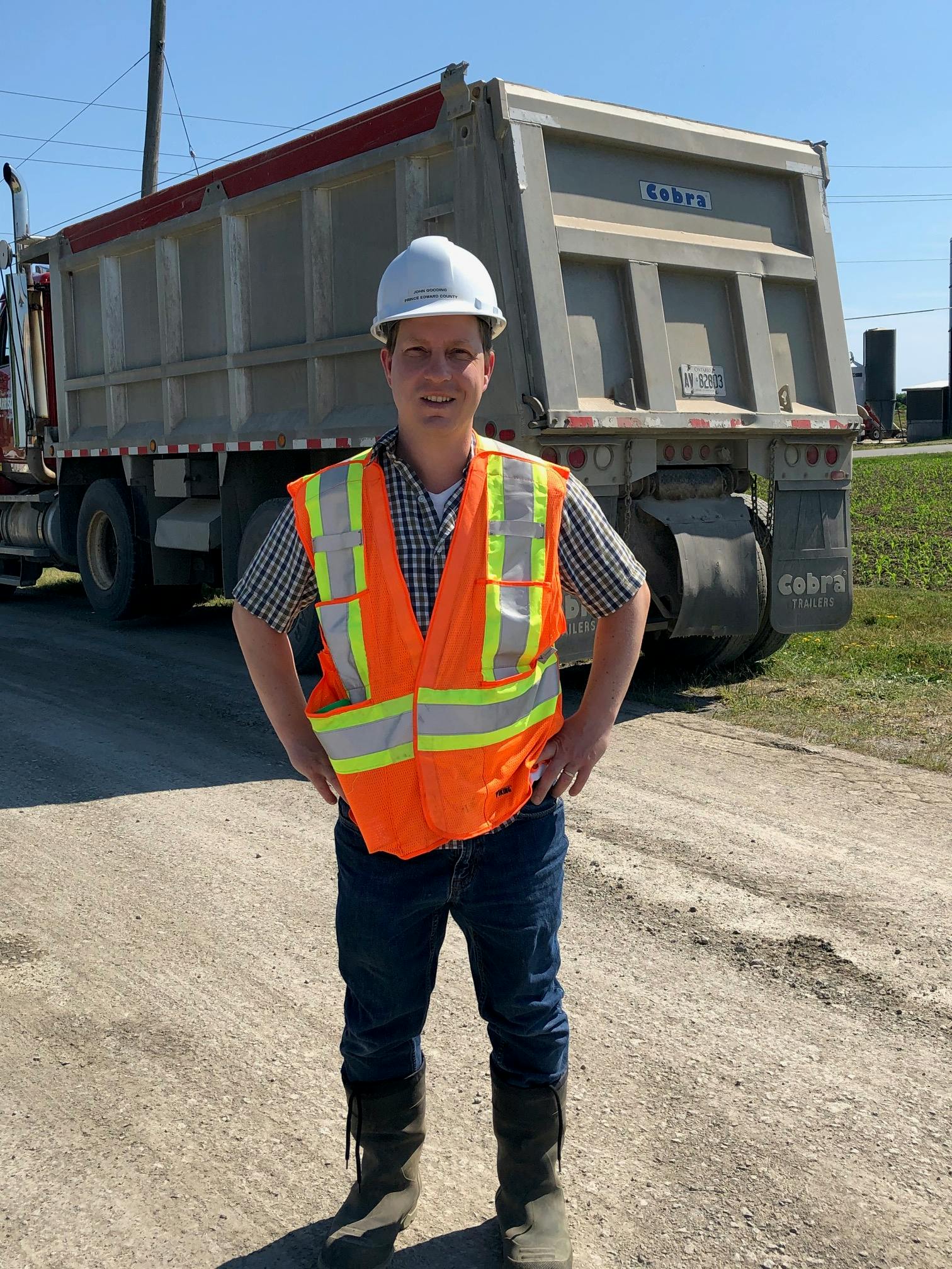
(Photo by George Amaro)
This is a consultation for residents and businesses to give us their evaluation of service level needs on roads they rely on or they know well. Help us with our staff recommendations for Council to make some difficult decisions.
The County of Prince Edward maintains over 1,100 kilometres of roads, excluding private lanes, and MTO controlled Highway 62, and parts of Loyalist Parkway. Maintenance decisions are guided by Provincial Standards set out in the Ontario Minimum Maintenance Standards for Municipal Highways, O Reg 239/02.
County roads are deteriorating faster than resources can maintain. Based on staff road evaluations in 2019 the replacement costs to improve road conditions from "poor" and "fair" to "good" are estimated to be over $163,000,000. This is not sustainable.
We are taking steps now to address road conditions. These include:
- Evaluating roads in 1 kilometre or less sections in order to identify 'worst' areas;
- Preserving roads by crack sealing and applying surface treatments;
- Pulverizing road sections that cannot be maintained into gravel and prioritizing them for replacement;
- Reconstructing hard surfaced and narrower platform roads with low cost surface treatment and maintaining platform widths as opposed to asphalt where traffic uses do not require asphalt and full width standards;
- Incorporating Asset Management principles in our evaluation to improve the decision making process and preserve assets before they reach an unacceptable Level of Service; and
- Assigning a third party consultant to evaluate road sections, apply Pavement Condition Index (PCI) ratings and provide rehabilitation recommendations. This will validate our records and provide process improvements.
The Pavement Preservation & Recycling Alliance is a useful website to understand road evaluations. A PCI refers to Pavement Condition Index which is a calculated value based on ride quality and surface condition.
We look forward to hearing from you!
Have Your Say!
Below is a map tool (or see link here) that allows you to pin road segments and mark Levels of Service infrastructure you think should be built. Start by identifying locations where these measures may be appropriate by following the instructions on the map.
Levels of Service Options Include:
Asphalt Paved Road Standard widths (6.0 meters or greater), alignments, shoulders & ditches | |
Surface Treated Road Mostly standard widths (6.0 meters), alignments, shoulders & ditches | |
Surface Treated Road Narrower widths (Less than 6.0 meters), shoulders & ditches Improvements would attempt to maintain the existing roadside characteristics (i.e. trees, fences, etc.). | |
Gravel Road Maintained all year Improvements would attempt to maintain the existing roadside characteristics (i.e. trees, fences, etc.). | |
Gravel Road Seasonally maintained | |
Unmaintained / Closed Road Naturalized. Public may assume alternative uses such as recreational trails. |
|


Who's Listening
-
Development Coordinator
The Corporation of the County of Prince Edward
Phone 613-476-2148 ex2033 Email jgooding@pecounty.on.ca
Signup Banner